
12:00 AM Mon 06 July 2026
Earth Sciences New Zealand earthquake geologist Dr Nicola Litchfield is delving into the past to help prepare Tairāwhiti communities for the future.
She’s recently spent time at Waihau Bay and Pouawa exploring coastal cliff exposures of uplifted beach deposits to see how often and how big earthquakes in the Hikurangi Subduction Zone or offshore faults have been, to better forecast what could come.
“It’s important work because earthquakes uplift the coast, and they come from the Hikurangi Subduction Zone or offshore faults, or both,” says Dr Litchfield. “Large earthquakes on them will cause local tsunami, and so we are trying to figure out the source of past earthquakes that have uplifted the beaches.”
Earthquakes are generally cyclical and the research gathered will arm local scientists with the right information to give to regional leaders information on the magnitude and frequency of earthquakes to best prepare Tairāwhiti communities.
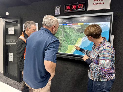
At Waihau Bay, the Lower Hutt based doctor found some raised beach deposits with shells which will be dated to give her the approximate timing of the earthquake that uplifted them.
“We will also survey the height of them to work out how much the land was uplifted in the earthquake. Given it was around 2m from our observations, it is likely the earthquake would have been at least a magnitude 7.”
The last time Waihau Bay was dated was 30-odd years ago. “We really wanted to do more modern dating and what we have gathered on this trip and future visits means our information is more precise.”
Dr Litchfield was surprised at just how much erosion she saw on the Coast. “It lines up given all the storms you’ve had here,” she said. “It just shows how dynamic the coast is. That we are only seeing one young terrace everywhere fits with the fact that there is a lot of coast erosion.”
But there is an exception. She has not long surveyed the Pakarae River mouth at Whāngārā, a rather special site that has seven terraces. “That is very unusual so fascinating to see,” she says. “I know of only one other in New Zealand.”
All the information gathered will go into the New Zealand national seismic hazard model. “This sort of work really underlines the importance of being prepared. Know where your tsunami zones are. If it is long or strong, get gone. Be aware and be prepared.”
With her on this trip was Italian PhD student Marco Francescone who is looking at fault avoidance zones, which is information that ends up on district plans.
Dr Litchfield is already making plans to return to the region to do more detailed work in a field she adores. In 25 years it has included her working in Christchurch after the big earthquake. “It was the first time I saw a fault rupture and then the Kaikoura earthquake was even more crazy with 20 faults going off. Part of the Hikurangi Subduction probably slipped with the Kaikoura quake,” she said.
“I love getting out and looking at landscapes and coasts. I feel so privileged. Others are captured by it too and after the Kaikoura earthquake people have images in their minds making it easier to explain just what we are doing.”